Miranjani Peak is one of the most popular hiking destinations in the Galyat region of Khyber Pakhtunkhwa. Located near Nathia Gali, it attracts visitors who want a rewarding mountain walk without technical climbing or remote travel.
Miranjani is not a town or settlement. It is a forested mountain peak that people visit specifically for hiking, fresh air, and views from the top. Because of its accessibility and well-known trail, it has become a common choice for first-time hikers and regular visitors to the Galyat hills.
Miranjani rises to approximately 2,992 meters above sea level, making it one of the higher points in the Galyat range. The peak lies within the forested belt that connects Nathia Gali with Ayubia National Park.
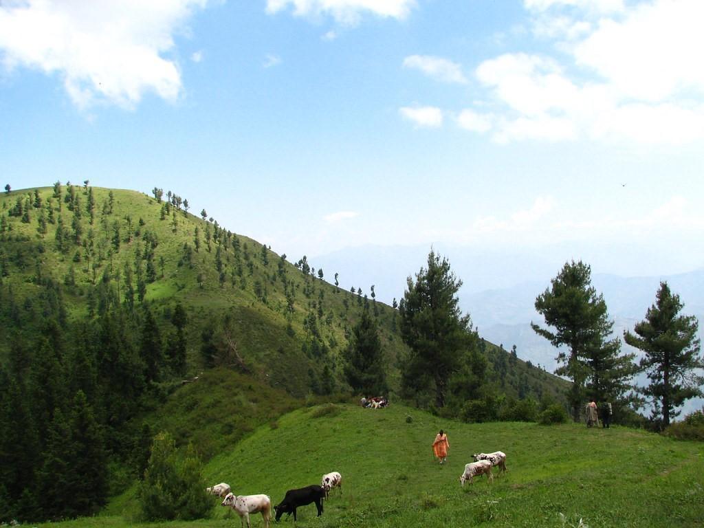
The trail passes through dense pine and mixed forest, with gradual elevation gain rather than sharp climbs. As hikers move higher, the forest thins and views open toward the surrounding valleys.
The Miranjani Hiking Trail
The Miranjani trail from Nathia Gali is the most commonly used route. It is a clearly defined path that can be completed without special equipment in good weather.
Forest Environment
Most of the hike takes place under forest cover. This makes the walk cooler and more comfortable during the summer months and adds to the sense of being immersed in nature.
Summit Views
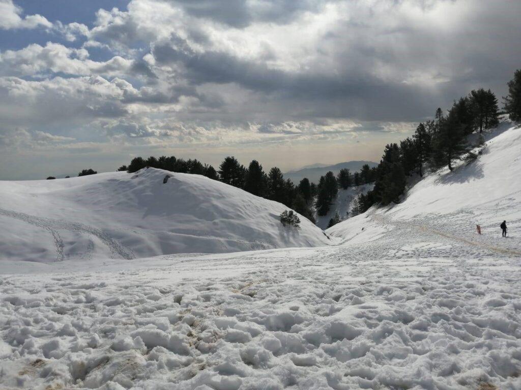
On clear days, the top of Miranjani offers wide views across the Hazara region and surrounding hill ranges. Visibility depends heavily on the weather, and clouds are common, especially in the monsoon season.
Photography
The trail and summit both offer strong opportunities for landscape and forest photography, particularly in the early morning.
Starting point: Nathia Gali
The trail is generally considered moderate in difficulty. It is suitable for reasonably fit visitors but may feel challenging for those not used to uphill walking.
There is no specific entry ticket for Miranjani Peak itself.
However:
The best time to visit Miranjani is from May to October.
The weather at the peak can differ significantly from Nathia Gali, so preparation is important.

Miranjani lies within a sensitive forest ecosystem. Visitors should stay on the established trail, avoid damaging vegetation, and carry all waste back with them. Loud noise and careless behavior degrade the experience and disturb wildlife.
Respect for the trail ensures Miranjani remains accessible and enjoyable for future hikers.